
Must-Have Apps for Travelers Flying Through Denver International Airport (DEN)
A trip through Denver can expand well beyond the plans you originally made. One day might involve exploring the 16th Street Mall and visiting galleries throughout the Art District, while the next could place you two hours west of the city on an 11,000-foot mountain pass with a trailhead only minutes away. Colorado encourages travelers to keep moving, and visitors arriving at DEN are better prepared when the right tools are already installed on their phones. From choosing a vehicle suited to the itinerary to locating hiking routes, handling Denver transit, and checking conditions before heading into the mountains, these apps can make a Colorado visit easier to manage.
1. Turo: Choose a Vehicle That Matches Your Colorado Plans
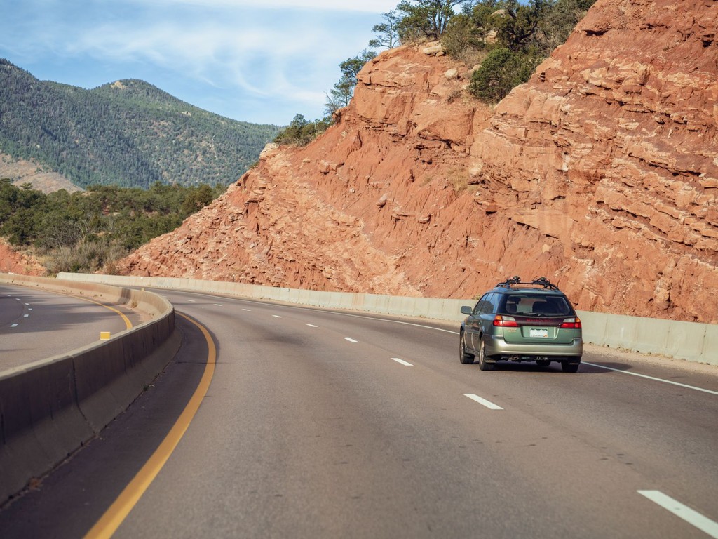
Driving in Colorado can require a vehicle that is better suited to the itinerary than a standard rental choice, and Turo allows travelers to select the specific vehicle they want before leaving the airport. Guests can review individual listings and reserve the exact car that fits their plans, whether that means an AWD SUV for mountain routes, a Jeep Wrangler capable of handling forest tracks, a Tesla for efficient highway travel, or a luxury vehicle for an upscale weekend in Aspen.
At DEN, Turo hosts can meet guests at the Westin Hotel next to the terminal or at designated airport parking locations, allowing travelers to avoid the traditional rental counter process. Before booking, guests can view the actual vehicle, photographs, mileage, and verified reviews from people who have previously driven it on Colorado roads. Protection plans are also displayed during the reservation process rather than introduced later at a rental counter. Pricing is consistently competitive and can often be significantly lower than traditional rental operators serving the same airport. In a destination where vehicle choice can directly affect a travel itinerary, being able to confirm the exact car in advance makes Turo a useful app to have ready before arriving.
2. RTD MyRide: Make Denver Public Transportation Easier to Use
The Regional Transportation District operates Denver's bus and light rail system, including service between DEN and downtown Union Station, and RTD MyRide helps visitors navigate that network more easily. The app includes mobile ticket purchases, trip planning, real-time arrival updates, and digital pass management. It is especially practical for travelers heading from the airport to a downtown hotel who do not need a vehicle during city-focused portions of their trip.
The University of Colorado A Line travels directly between DEN and Union Station in approximately 37 minutes, with trains departing every 15 minutes, and RTD MyRide simplifies the ticketing process. Travelers dividing their itinerary between Denver sightseeing and mountain excursions can use public transportation for city days and reserve vehicle use for the portions of the trip that require driving outside the metro area.
3. AllTrails: Keep Colorado Trail Information Close at Hand
With more than 26,000 miles of trails throughout Colorado, choosing and navigating a route can quickly become complicated. AllTrails organizes that information through detailed trail maps, elevation profiles, difficulty ratings, recent condition reports from hikers, and offline maps that can be downloaded for locations where mobile service is unavailable. The platform is useful for everyone from occasional walkers to experienced backcountry hikers.
Visitors traveling from Denver to Rocky Mountain National Park, exploring the Maroon Bells near Aspen, or hiking above Boulder can use AllTrails to compare routes based on ability level and available time while also following the trail more confidently. Downloadable mapping is particularly valuable in Colorado because cellular coverage can be inconsistent in mountainous areas.
4. Yelp: Research Denver Dining While You Explore
Denver's dining scene has developed considerably in recent years, giving visitors a broad range of restaurants across neighborhoods such as RiNo, Larimer Square, South Broadway, and LoHi. Yelp provides a convenient way to evaluate those options while traveling by combining diner reviews, updated operating hours, estimated wait times, and links for reservations or waitlists.
Unlike relying only on a restaurant list created before the trip, travelers can use current location filters to see options near the specific Denver neighborhood they are visiting. For anyone interested in eating beyond airport chains or hotel restaurants, Yelp offers a quick way to compare nearby choices and decide where to spend the evening.
5. iOverlander: Find Camping and Dispersed Stops Across Colorado
Colorado offers extensive opportunities for dispersed camping, including large areas of National Forest land where camping can be free, legal, and surrounded by remarkable scenery. iOverlander helps travelers locate these areas through user-submitted information covering free campsites, trailheads, water sources, and other useful stops throughout Colorado and beyond.
The app is particularly relevant for visitors combining time in Denver with road trips through destinations such as the San Juan Mountains, the Collegiate Peaks, or the Million Dollar Highway. Many of the locations listed in iOverlander will not appear on traditional hotel booking platforms. Because new information requires cell service to load, travelers are strongly advised to download the Colorado regions they expect to visit before leaving the city.
6. Mountain Forecast: Check Conditions at the Elevation You Are Visiting
Weather in Colorado's mountains can differ sharply from conditions in the towns below. A morning that begins with clear skies can develop into afternoon thunderstorms, conditions at a summit may be very different from those at the trailhead, and winter weather can arrive rapidly at higher elevations even during shoulder months.
Mountain Forecast, which is also known as Mountain-Forecast.com in app form, provides forecasts based on specific elevations rather than only reporting weather for the nearest town or valley. That distinction is useful for travelers planning summit hikes, skiing, or mountain drives because it provides information relevant to the altitude they will actually encounter instead of relying on lower-elevation conditions.
Common Questions About Planning a Smarter Trip Through DEN
Should travel apps be downloaded before arriving at DEN, or can travelers handle everything after landing?
Apps connected to advance reservations are generally better handled before the flight. Turo vehicles at DEN, especially AWD and 4WD choices, can book quickly during ski season and busy summer weekends, so reserving a vehicle before departure can be worthwhile. Recent AllTrails reports are most useful when reviewed the evening before a planned hike, while mountain weather should be checked each morning before outdoor activities. Dining and public transportation arrangements can be handled after arrival, although downloading RTD MyRide and planning the airport transit route beforehand can make the first hour in Denver more straightforward.
Can visitors explore Denver without a car, or is driving necessary?
Denver's transit system serves the airport connection, city center, and several major neighborhoods effectively. Travelers concentrating on downtown, RiNo, Capitol Hill, and LoDo can generally get around comfortably by train and bus. Once an itinerary includes mountain destinations, Rocky Mountain National Park, ski resorts, or Colorado's scenic driving routes, access to a car becomes necessary. There is no meaningful public transportation option from Denver to Vail, Breckenridge, or Estes Park that operates around a typical traveler's schedule. Visitors combining city sightseeing with mountain excursions commonly use the train for airport transfers and urban days, then rely on a vehicle whenever the itinerary extends beyond the metro area.
What should first-time visitors understand before driving in Colorado's mountains?
Mountain roads in Colorado can be scenic while also becoming challenging under certain conditions. First-time drivers often underestimate how quickly weather can change at altitude, how different switchback driving can feel at elevation, and how long winter road conditions may continue into spring on high mountain passes. Colorado requires chains or snow tires on certain roads during winter, and those requirements are enforced. Experienced Colorado drivers routinely check the Colorado Department of Transportation app or website for closures and road conditions before heading into the mountains. Turo also allows travelers to verify the drivetrain and winter capabilities of a specific vehicle before booking, which can be useful when planning routes through higher elevations.
Which Denver neighborhood works well as a base for visitors?
Lower Downtown, commonly called LoDo, together with the nearby Union Station area, offers walkable access to many central Denver attractions, including Coors Field, the Confluence Park area, restaurants, and the transit hub connecting travelers with the airport and other neighborhoods. RiNo, or the River North Art District, offers a more arts- and food-focused setting, with a dense collection of independent restaurants, breweries, and galleries. Capitol Hill is well suited to visitors interested in Denver's cultural institutions, including the Denver Art Museum and the Denver Center for the Performing Arts. Each area has strong transit connections and is walkable within its own boundaries, so the best choice largely depends on which side of Denver a visitor wants to experience.